SHA Coordinated Highways Action Response Team (CHART) ITS Support Services
DCI conducts ITS tasks as a Prime Consultant to the Maryland CHART Program. Tasks include:
Baltimore Regional Operations Coordination (B-ROC): DCI has been responsible for facilitating and documenting results from Traffic Incident Management for the Baltimore Region (TIMBR) committee meeting deliberations. Technical documents developed by DCI include:
- Baltimore Region Contingency Transportation Emergency Management Plan
- Maryland Statewide Incident Management Coordination Field Guide
- Office of Chief Medical Examiner Incident Management Form
- Spanish Language Field Guide
- Move It: Maryland’s Motor Vehicle Collision Policy
DCI also designed and deployed TIMBR’s online Traffic Incident Management Training Course for fire, EMS and law enforcement personnel responding to traffic incidents in the Baltimore Metropolitan area. Traffic incident management topics include traffic control procedures, MdMUTCD Chapter 6I compliance, equipment staging, incident command system (ICS) and use of emergency lighting.
Transportation Emergency Management Plans
DCI developed emergency management plans for various regions in Maryland based on State and Local agencies inputs. Plans included traffic control points at key intersections for various scenarios and operational procedures for regional coordination. Emergency management plans developed include:
- Maryland National Capital Region Transportation Emergency Management Plan
- Anne Arundel County and City of Annapolis, Maryland Traffic Emergency Management Plan
- Southern Maryland Traffic Emergency Management Plan
- Maryland Eastern Shore Hurricane Evacuation Traffic Management Plan
- Fort Meade/NSA Highway Incident Management Plan
- Baltimore Regional Transportation Incident-Response Coordination Plan
- Baltimore Region Contingency Transportation Emergency Management Plan
Freeway Incident Traffic Management Plans (FITM)
FITM plans are planned traffic detour plans in the event that an entire direction of a freeway/expressway has been closed. It involves detouring traffic through alternate roadways making use of the ITS devices and signals along proposed routes. Plans were developed using local incident response agency feedback as well as understanding and balancing different needs for all participating agencies.
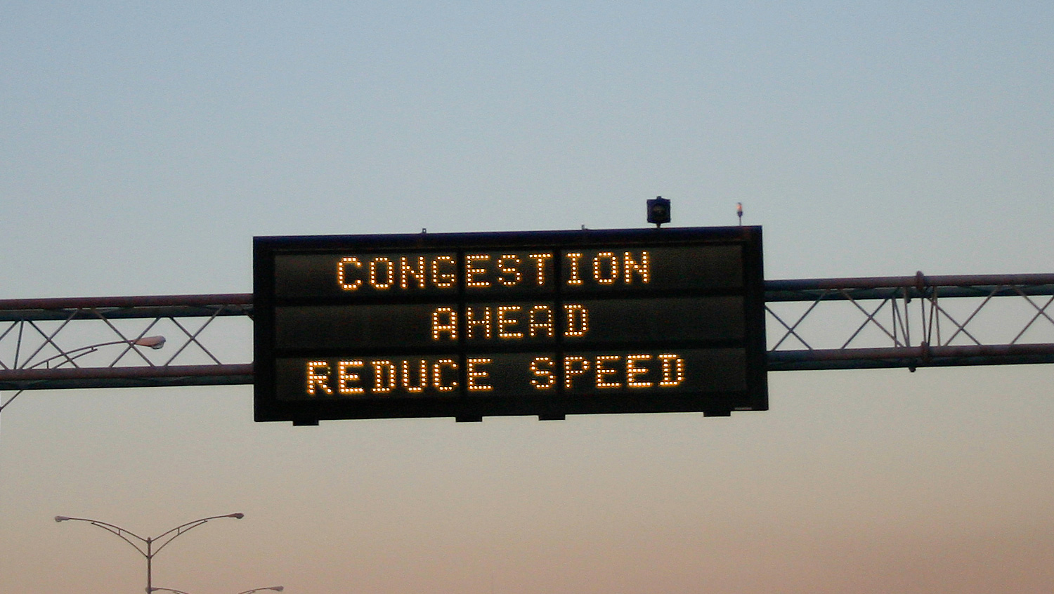
Procedural Guidelines for Displaying Travel Time on Dynamic Message Signs (DMS) in CHART
Nationwide implementations of travel time messages on DMS has provided a useful service to traveling motorists by utilizing existing DMS infrastructure. It has been well-received by motorists and has been encouraged by the Federal government. As a member of I-95 Corridor Coalition, The Maryland State Highway Administration’s CHART program receives real-time travel time information from INRIX®, a third party vendor. INRIX® generates live travel time data based on vehicle probe information; covering significant geographic areas that consist of routes along and parallel to I-95, as well as the Washington and Baltimore Beltways. DCI developed the procedural guidelines for disseminating automated travel time messages to traveling motorists along Maryland’s highways. The guidelines resolved questions related to the contents and formats of the message (depending on the DMS size), update frequency, data quality issues and determined destinations for specific DMSs.